This is a list of all chain grocery locations my research has uncovered in Warwick from 1925-1989, compiled from city directories, telephone books, and other sources. There may be some omissions due to incomplete or missing data, etc. and I welcome suggestions and corrections. Please read about my methodology for more information about what I do and do not include.
Access and download the location spreadsheet via Google Sheets.
Store tags:
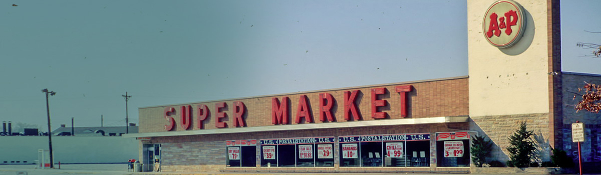
- A&P
- Almac’s
- Big G
- First National
- Mayflower
- Nicholson Thackray
- Piggly Wiggly
- Star Market
- Stop & Shop
Updated on 26 November 2022